
As an Amazon Associate I earn from qualifying purchases. If you buy through links in this article, we may earn a commission at no extra cost to you.
These are the 10 best aerial mapping drones, ranked on the two things that decide whether a map is usable: how accurately each photo is positioned, and how painlessly the imagery flows into mapping software. RTK flagships lead, but the list runs down to a sub-250 g starter, because a small site mapped today beats a perfect survey next month, and accuracy you cannot process is accuracy wasted.
Short on time?
Start with these three picks
The fastest mapper, the compact benchmark and the agriculture specialist: three ways into serious aerial mapping.
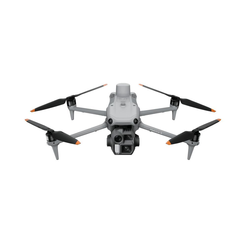
DJI Matrice 4E
The fastest serious mapper here: a 20MP mechanical-shutter camera firing every 0.5 seconds, built-in RTK, and 49 minutes to spend it across big sites. The trade-off is the enterprise channel: dealers, quotes and fleet habits.
View on Amazon Read the full review ↓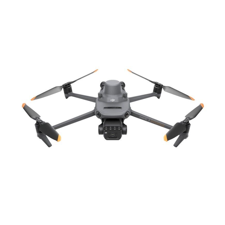
DJI Mavic 3 Enterprise
The benchmark small mapper: 20MP mechanical shutter, an RTK module for centimeter positioning and 45 minutes, in a 915 g folder that lives in a backpack. The RTK module is an add-on, and the tele camera is a bonus, not a mapping tool.
View on Amazon Read the full review ↓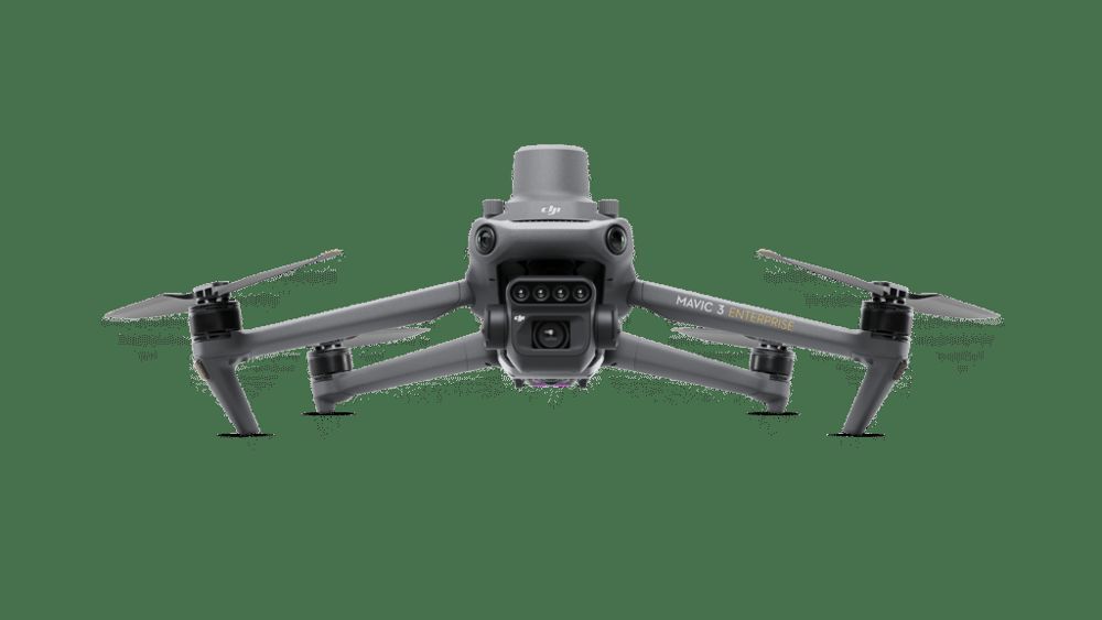
DJI Mavic 3 Multispectral
The crop mapper: a 20MP mapping camera plus four multispectral bands and a sunlight sensor, producing NDVI and NDRE maps that prescription software can act on. It maps plants, not terrain, and the price reflects the specialization.
View on Amazon Read the full review ↓The shortlist
Compare all 10 at a glance
Mapping buying turns on positioning accuracy, shutter type and how the imagery moves into software. This table keeps those three in view.
| Product / award | Best fit | Key decision point | Check current offer |
|---|---|---|---|
| 01. DJI Matrice 4EBest overall | Survey and mapping contractors | Fastest capture here; built-in RTK | View on Amazon |
| 02. DJI Mavic 3 EnterpriseBest compact mapper | Small survey firms and site teams | Proven accuracy; RTK is an add-on module | View on Amazon |
| 03. DJI Mavic 3 MultispectralBest for agriculture mapping | Agronomists and precision agriculture services | NDVI and NDRE data; premium specialist | View on Amazon |
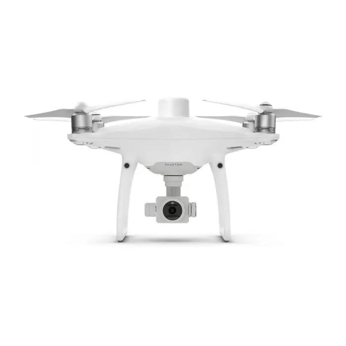 04. DJI Phantom 4 RTKBest for GCP-light survey work | Surveyors buying a dedicated used mapper | Centimeter workflow classic; discontinued | View on Amazon |
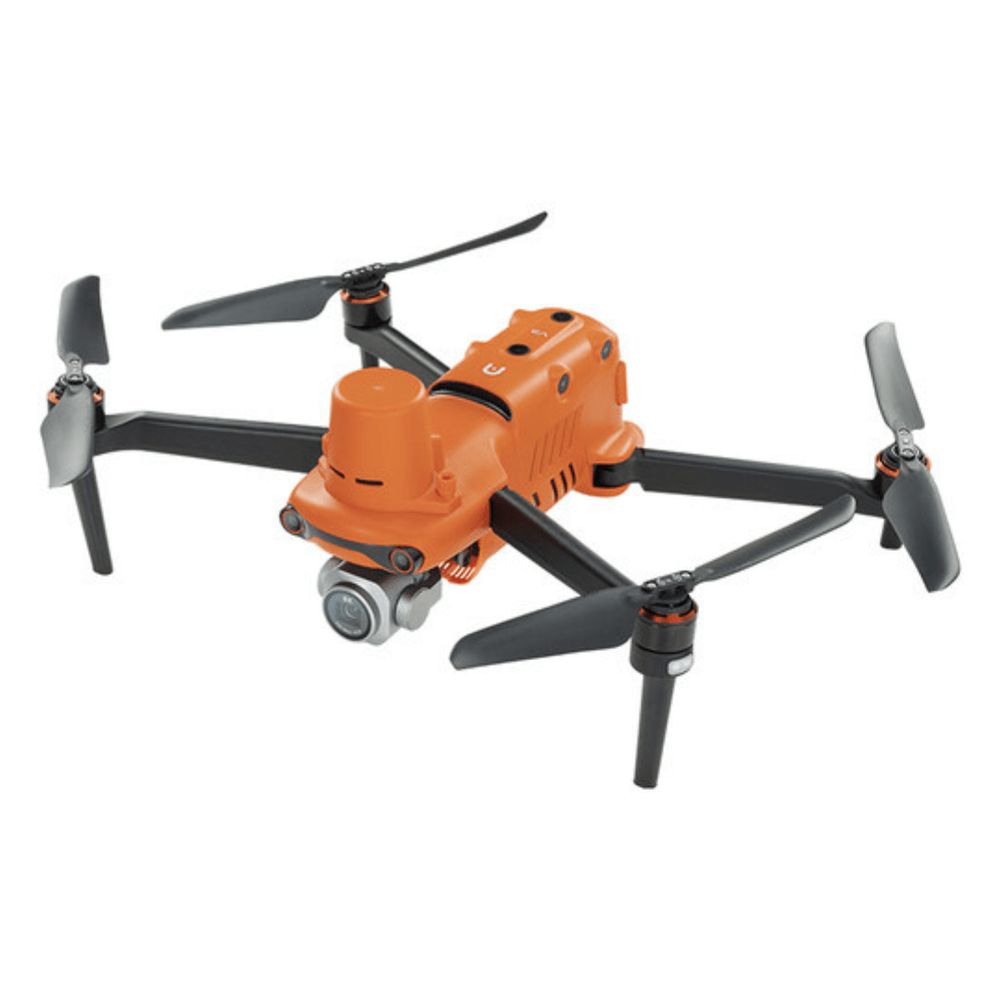 05. Autel EVO II Pro RTKBest non-DJI mapper | Autel fleets and DJI-averse survey teams | Centimeter RTK plus PPK; no mechanical shutter | View on Amazon |
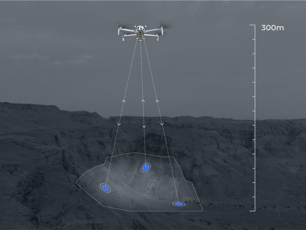 06. Skydio X10Best for 3D capture | Asset owners building digital twins | 3D structure capture; premium fleet tool | View on Amazon |
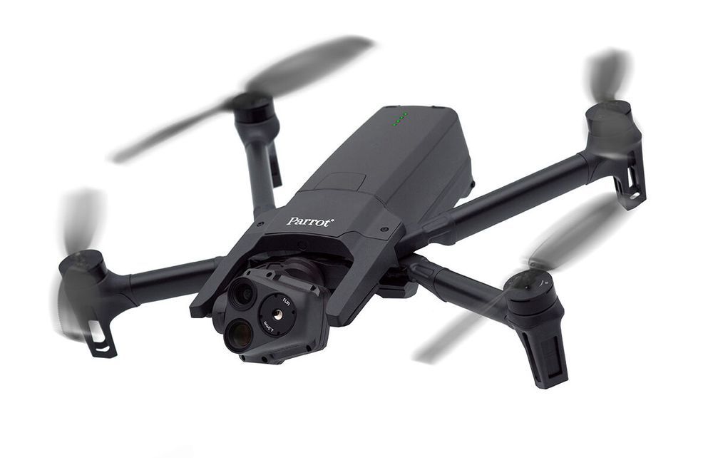 07. Parrot Anafi USABest compact government-grade | Public agencies and utility contractors | Trusted provenance; GPS-class positioning | View on Amazon |
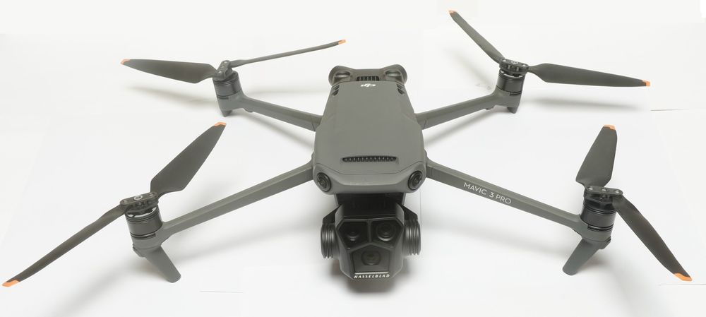 08. DJI Mavic 3 ProBest prosumer mapper | Creator firms adding mapping services | Great camera, GPS positioning; GCP workflow | View on Amazon |
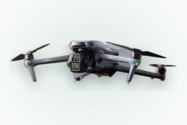 09. DJI Air 3SBest travel mapping kit | Remote assessment and travel documentation | Portable 50MP mapper; rolling shutter ceiling | View on Amazon |
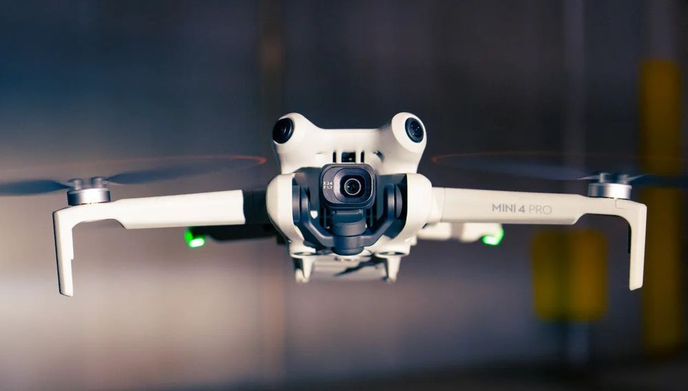 10. DJI Mini 4 ProBest sub-250 g starter | New mappers and small-plot work | Lightest way in; accuracy is GPS-class | View on Amazon |
Look closer
Our 10 picks, explained
These picks come from desk research, not hands-on testing: we compared manufacturer spec sheets line by line, then cross-checked published accuracy studies and surveyor feedback to see which workflows hold up on real sites.
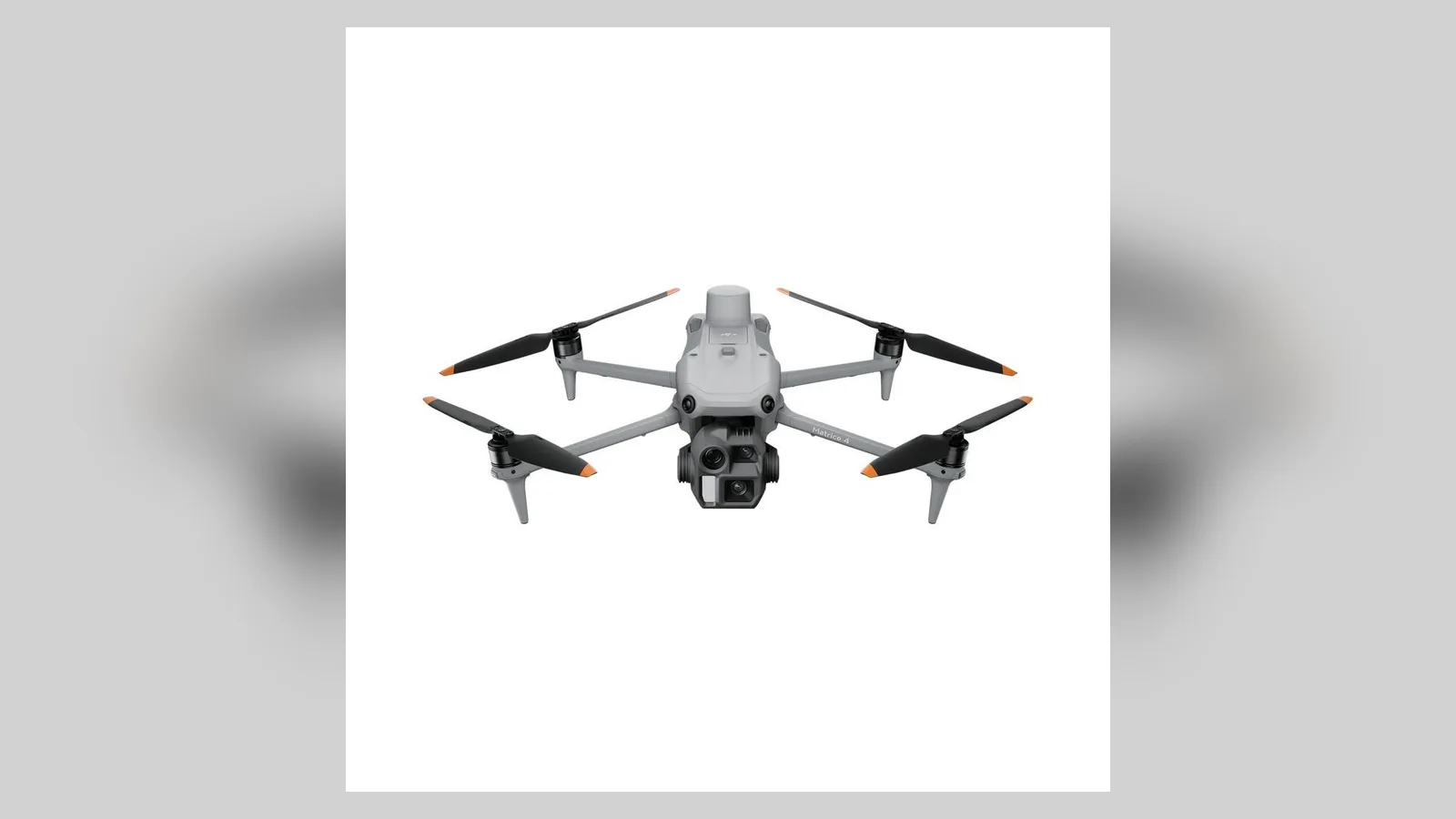
DJI Matrice 4E
Mapping economics are minutes per hectare, and the 4E is built to cut them. Its 4/3-inch 20MP wide camera uses a mechanical shutter, so images stay geometrically honest at survey speeds, and it can fire every 0.5 seconds, which means faster flight lines and fewer passes. RTK is built in rather than bolted on, positioning photos to 1 cm + 1 ppm with corrections from a base or network. DJI rates 49 minutes of flight time, and the airframe still folds to 1,219 g. In DJI Terra or third-party photogrammetry, the result is a workflow with very little waiting: capture fast, process once, deliver.
- Wide camera
- 4/3-inch CMOS, 20MP, mechanical shutter
- Flight time
- 49 min
- Positioning
- Built-in RTK, 1 cm + 1 ppm
Reasons to choose it
- 0.5 second capture interval for fast grids
- Built-in RTK, no module to buy or forget
- 49 minute endurance for large sites
Trade-offs to know
- Enterprise dealer channel only
- 1,219 g means registration and Part 107 territory
Choose this if: mapping is your trade and site time is the cost you are cutting.
Consider another option if: you want the same accuracy in a smaller bag, the Mavic 3 Enterprise folds lighter.
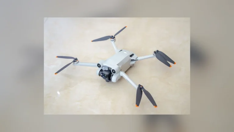
DJI Mavic 3 Enterprise
Three mapping seasons in, the Mavic 3 Enterprise is the known quantity every other compact mapper is measured against. The 4/3-inch 20MP camera’s mechanical shutter avoids the rolling-shutter warp that bends straight lines in cheap maps, and the optional RTK module lifts positioning to centimeter level, feeding DJI Terra, Pix4D and DroneDeploy clean, well-tagged imagery. At 915 g it travels in a normal backpack, deploys in minutes, and flies 45 minutes per battery, which suits the small-to-medium sites most firms actually map. The 12MP telephoto is for inspection side quests, not mapping. Against its own successor generation it loses on capture speed, not on results.
- Wide camera
- 4/3-inch CMOS, 20MP, mechanical shutter
- Flight time
- 45 min
- Positioning
- RTK module for centimeter accuracy
Reasons to choose it
- Mechanical shutter keeps map geometry honest
- Huge software and training ecosystem
- Backpack size at 915 g
Trade-offs to know
- RTK module is a separate purchase
- Capture interval slower than the Matrice 4E
Choose this if: you map small to medium sites and want the proven compact workflow.
Consider another option if: you fly large areas weekly, the Matrice 4E captures faster with RTK built in.
DJI Mavic 3 Multispectral
Agricultural maps answer a different question: not where things are, but how the crop is doing. The Mavic 3 Multispectral carries the same 4/3-inch 20MP mechanical-shutter camera as the Enterprise for the base map, then adds four 5MP multispectral cameras (green, red, red edge and near-infrared) that feed vegetation indices like NDVI and NDRE. A sunlight sensor on top records irradiance during the flight, so index values stay comparable between a bright Tuesday and an overcast Friday. RTK support keeps repeat flights aligned to the same rows. In DJI Terra and SmartFarm workflows the output becomes variable-rate prescription maps that spreaders and sprayers, including the Agras line, can execute.
- Sensors
- 20MP RGB plus 4 multispectral bands
- Flight time
- 43 min
- Positioning
- RTK supported, sunlight sensor fitted
Reasons to choose it
- True multispectral bands, not software guesses
- Sunlight sensor for comparable indices
- Shares workflow with the Mavic 3 Enterprise
Trade-offs to know
- Specialist pricing for a crop-only edge
- Multispectral resolution is 5MP per band
Choose this if: you map crop health and produce prescription maps for application work.
Consider another option if: you only need terrain and site maps, the Mavic 3 Enterprise skips the crop sensors.
DJI Phantom 4 RTK
Accuracy in photogrammetry is a chain, and the Phantom 4 RTK was designed link by link. Its integrated RTK module positions the aircraft to 1 cm + 1 ppm horizontally, the TimeSync system aligns the flight controller, camera and RTK clock, and lens calibration parameters are written into each image’s metadata, so DJI’s quoted 5 cm absolute horizontal accuracy at 100 m is achievable with minimal ground control. The 1-inch 20MP camera has a mechanical shutter, and the GS RTK app plans photogrammetry missions natively, including KML area imports. It is discontinued, the batteries are a legacy format, and the fixed airframe travels poorly next to folders. As a dedicated mapping tool bought used and kept on mapping duty, it remains weirdly compelling.
- Camera
- 1-inch CMOS, 20MP, mechanical shutter
- RTK accuracy
- 1 cm + 1 ppm horizontal
- Flight time
- About 30 min
Reasons to choose it
- Integrated RTK with TimeSync metadata discipline
- Mechanical shutter and calibrated lens data
- Native photogrammetry planning in GS RTK
Trade-offs to know
- Discontinued, with legacy batteries
- Fixed airframe is bulky next to folders
Choose this if: you want a dedicated mapping aircraft and value positioning rigor over portability.
Consider another option if: you need current support and folding convenience, the Mavic 3 Enterprise is the living line.
Autel EVO II Pro RTK
The RTK module is the whole story here: fitted on top of the familiar EVO II Pro, it delivers Autel-rated positioning of 1 cm + 1 ppm horizontally and 1.5 cm + 1 ppm vertically, with fixes in about three minutes and full PPK recording for sites where a live correction link cannot reach. The camera is the strong 1-inch 20MP unit with an adjustable f/2.8 to f/11 aperture and 6K video, useful when the mapping client also wants marketing footage. Autel Explorer plans rectangular and polygon mapping missions and resumes multi-battery jobs after swaps. Flight time is 38 minutes with the module fitted, at 1,237 g. There is no mechanical shutter, so disciplined flight speeds matter.
- Camera
- 1-inch CMOS, 20MP, 6K video
- RTK accuracy
- 1 cm + 1 ppm horizontal
- Flight time
- 38 min
Reasons to choose it
- RTK and PPK in one module
- No geofencing database delaying authorized work
- Strong camera does double duty for footage
Trade-offs to know
- No mechanical shutter
- Smaller mapping software ecosystem than DJI
Choose this if: you want centimeter mapping without building your workflow on DJI.
Consider another option if: you need faster capture and a mechanical shutter, the Matrice 4E is the stronger mapper.
Skydio X10
Most mapping drones fly grids over open ground. The X10 maps things: towers, bridges, roofs and plant, where the subject is vertical and the airspace is cluttered. Six navigation cameras give it a constant model of its surroundings, so it can orbit structures at close, consistent distances and capture the overlapping imagery that 3D reconstruction needs, including undersides and recesses that nadir grids miss. Skydio’s 3D Scan software automates those captures and inspections. Visual cameras run to a 64MP narrow unit and a 48MP tele, flight time is 40 minutes, and the IP55 airframe weighs about 2.11 kg. For pure acreage mapping it is expensive overkill; for digital twins of structures, it is the specialist.
- Cameras
- 64MP narrow, 48MP tele
- Flight time
- 40 min
- Airframe
- IP55 rated, about 2.11 kg
Reasons to choose it
- Automated close capture around structures
- Omnidirectional navigation awareness
- IP55 sealing for industrial sites
Trade-offs to know
- Premium pricing aimed at fleets
- Autonomy is wasted on open flat sites
Choose this if: you build 3D models of structures, not just maps of land.
Consider another option if: your work is open acreage, the Matrice 4E maps it faster for less.
Parrot Anafi USA
Some mapping work happens where brand origin is a contract clause. The Anafi USA is assembled in the US, appears on government approved lists, and folds to 500 g, yet still carries a 32x zoom and a FLIR Boson thermal camera (320×256), so the same flight that maps a site can inspect it. Photogrammetry runs through Pix4Dcapture and processes in Pix4D or similar tools; with well-placed ground control points, results serve planning, volumetrics and progress mapping honestly. Without GCPs its GPS positioning is meter-class, and Parrot quotes 32 minutes of flight time. Wind tolerance and ecosystem depth trail the DJI enterprise line; provenance and portability are the purchase reasons.
- Takeoff weight
- 500 g
- Thermal camera
- FLIR Boson 320×256
- Flight time
- 32 min
Reasons to choose it
- US-assembled and agency approved
- Zoom plus thermal in a 500 g folder
- Quiet, discreet flight profile
Trade-offs to know
- No RTK, so accuracy depends on ground control
- Modest wind tolerance for exposed sites
Choose this if: you map for agencies or utilities with approved-vendor rules.
Consider another option if: you need centimeter positions without GCPs, the EVO II Pro RTK builds them in.
DJI Mavic 3 Pro
Plenty of firms map occasionally: a roof plan here, a site progress ortho there, inside a business that mainly shoots content. The Mavic 3 Pro fits that reality. The 4/3-inch 20MP main camera produces detailed stills, flight time is 43 minutes, and DJI Fly’s waypoint tools can fly repeatable grids; process in Terra, Pix4D or DroneDeploy with a handful of ground control points and the output is genuinely useful for planning and volumetrics. What it lacks is positioning: no RTK option, so absolute accuracy lives and dies with your GCP work. As a dedicated survey instrument it is outclassed; as a dual-purpose earner it makes sense.
- Main camera
- 4/3-inch CMOS, 20MP
- Flight time
- 43 min
- Positioning
- GPS only, use ground control points
Reasons to choose it
- Excellent stills and 43 minute endurance
- Real consumer listing, easy purchase
- Doubles as a top content camera
Trade-offs to know
- No RTK option at any price
- Accuracy depends entirely on ground control
Choose this if: mapping is an occasional job inside a content-led business.
Consider another option if: mapping becomes weekly billable work, the Mavic 3 Enterprise is the upgrade path.
DJI Air 3S
Travel changes the mapping equation: the best drone is the one in the bag at the site. The Air 3S folds to 724 g, flies 45 minutes, and its 1-inch 50MP main camera captures small sites in high detail; the 70mm telephoto adds context and detail shots without extra flights. DJI’s waypoint system flies repeatable grids, and output processes normally in standard photogrammetry tools. The limits are real: an electronic (rolling) shutter can warp geometry at speed, so map slower and lower, and GPS-only positioning means ground control points carry the accuracy. For remote assessments, NGO work and travel-based site documentation, those are fair trades for a kit this portable.
- Main camera
- 1-inch CMOS, 50MP
- Flight time
- 45 min
- Shutter
- Electronic, fly slower grids
Reasons to choose it
- 50MP stills capture small sites in detail
- 45 minute endurance in a travel size
- 70mm lens adds detail coverage
Trade-offs to know
- Electronic shutter limits mapping speed
- GPS-only positioning needs ground control
Choose this if: you map small or remote sites and travel light to reach them.
Consider another option if: you need mechanical-shutter geometry, the Mavic 3 Pro is the step up.
DJI Mini 4 Pro
Every mapping business starts with a first paid map, and the Mini 4 Pro lowers that threshold. Under 249 g it skips registration in many jurisdictions, yet it still flies proper automated grids with waypoint missions and shoots 48MP stills from a 1/1.3-inch sensor. With a few ground control points, small-plot maps, roof plans and construction progress records come out genuinely usable, and the workflow skills (planning, overlap, processing) transfer directly to bigger aircraft. Flight time is 34 minutes and omnidirectional sensing protects beginners. The ceilings are honest: no RTK, a small sensor that struggles at dawn, and light weight that wind bullies. Learn here, then graduate.
- Camera
- 48MP, 1/1.3-inch sensor
- Flight time
- 34 min
- Weight
- Under 249 g
Reasons to choose it
- Sub-250 g keeps rules simple in many places
- Real automated mapping missions
- Forgiving sensing for beginners
Trade-offs to know
- GPS-class accuracy only
- Small sensor and light airframe limit conditions
Choose this if: you are starting out, learning workflow or mapping small plots.
Consider another option if: your maps need centimeter positions, the Mavic 3 Enterprise is the professional step.
Buy with confidence
How to choose an aerial mapping drone
Accuracy is a system, not a spec line. These four decisions build it.
01. Choose your accuracy method first
RTK drones correct positions live from a base station or network; PPK drones record raw satellite data and correct it afterward; GPS-only drones rely on ground control points you survey in yourself. All three can produce accurate maps. They differ in field time, kit cost and what happens when the correction link drops.
02. Protect the geometry: shutter and speed
A mechanical shutter freezes each frame whole, keeping straight lines straight at survey speed. Rolling electronic shutters warp geometry when the drone moves fast, so either buy the mechanical shutter or budget slower, lower flight lines. Overlap of about 75 percent forward and 70 percent side is the working habit that saves processing.
03. Plan the software before the aircraft
Your drone is a camera with a positioning system; your product is made in software. DJI Terra, Pix4D and DroneDeploy each handle capture planning, processing and deliverables differently, and some aircraft features only unlock inside their own ecosystem. Pick the pipeline your clients’ formats demand, then buy the drone that feeds it cleanest.
04. Budget the whole mapping system
The aircraft is rarely half the spend. RTK bases or network subscriptions, ground control targets, spare batteries, a processing-capable computer, software seats, insurance and pilot certification all belong in the same budget line. A cheaper drone with the full system around it out-produces a flagship flown bare.
Behind the recommendations
How we selected these products
This guide is built on desk research, not hands-on testing. We compared official manufacturer spec sheets for every current drone that plausibly maps, then cross-checked the shortlist against published accuracy assessments and surveyor feedback. Specs were rechecked against the sources below in October 2026. Where a figure is a lab rating, such as flight time or positioning accuracy, we treat it as a ceiling, not a promise.
- Positioning: RTK, PPK and GPS capability, plus quoted accuracy figures, checked against manufacturer documentation.
- Capture: Shutter type, capture interval, sensor size and endurance compared like for like across brands.
- Limitations: We did not fly these drones or process test datasets for this guide; verify quoted accuracy against your own check points before relying on it commercially.
Common questions
Before you buy
What accuracy can a mapping drone actually achieve?
With RTK or PPK positioning and good practice, horizontal accuracy around 1 to 3 cm on the ground is realistic, and DJI quotes 5 cm absolute for the Phantom 4 RTK at 100 m altitude. Without correction, a GPS-only drone’s map can sit meters from its true position even when it looks sharp. Check points you survey independently are the only honest proof.
Do I still need ground control points with an RTK drone?
Fewer, and differently. RTK removes the need for dense GCP networks to position the map, but professionals still place independent check points to verify accuracy, and some contracts and jurisdictions require ground control regardless. Think of RTK as moving your effort from many control points to a few verification points, not eliminating ground truth.
Mechanical or electronic shutter for mapping?
Mechanical, if maps are the product. It exposes the whole frame at once, so fast flight lines do not bend straight edges. Electronic rolling shutters can still map acceptably when you slow down, lower the altitude and keep overlap high, which is how the travel picks on this list stay useful. For paid survey work, the mechanical shutter pays for itself in rework avoided.
Which software should I process mapping photos in?
The main routes are DJI Terra (fastest inside the DJI ecosystem), Pix4D and DroneDeploy (platform-agnostic, stronger reporting), plus open tools for the technically inclined. Choose on deliverables: orthomosaics and contours are universal, while stockpile volumes, plant health indices and inspection reports differ by package. Most offer trials, so process one real dataset before committing.
Accuracy first, airframe second
Start with the Matrice 4E if mapping is the business: nothing here captures accurate data faster. Choose the Mavic 3 Enterprise for the proven compact workflow, and the Mavic 3 Multispectral when the map’s subject is a crop, not the land.
Sources and verification
Product specifications and claims in this guide were checked against the following sources, listed by name as a record of what was consulted.
- DJI Matrice 4E, Mavic 3 Enterprise, Mavic 3 Multispectral, Phantom 4 RTK, Mavic 3 Pro, Air 3S and Mini 4 Pro official specifications (dji.com)
- Autel EVO II Pro RTK official specifications (autelrobotics.com)
- Skydio X10 official specifications and 3D Scan documentation (skydio.com)
- Parrot Anafi USA official specifications (parrot.com)
- Published photogrammetry accuracy studies and surveyor feedback for the shortlisted models, cross-checked in October 2026